Fatal shootings by police has been on the mind of late so I decided to create a map of where they’ve occurred from the start of 2010 until this week. The result was this map which can be interacted with on Tableau’s site here.
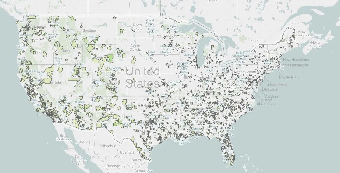
Data on fatal shootings was gleaned from the excellent (but somewhat messy) Fatal Encounters website. Zip code 94590 in Vallejo, California (north of Oakland) leads the way with 10 shootings since 2010 with zip codes in Waco, Houston and Bakersfield just behind with 9 each. Note: this effort does not suggest that any or all of these shootings are unjustified, it’s simply a record of where they’ve all occurred.

Leave a Reply